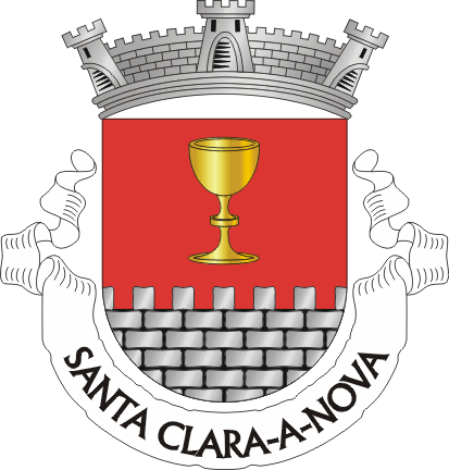
Santa Clara-a-Nova
A village in Baixo Alentejo, in the municipality of Almodôvar, where the Campos de Ourique plain meets the first foothills of the Serra do Caldeirão. A land of cork-oak groves, silence, and one of the most important archaeological sites in southern Portugal.
Location
Where Santa Clara-a-Nova is
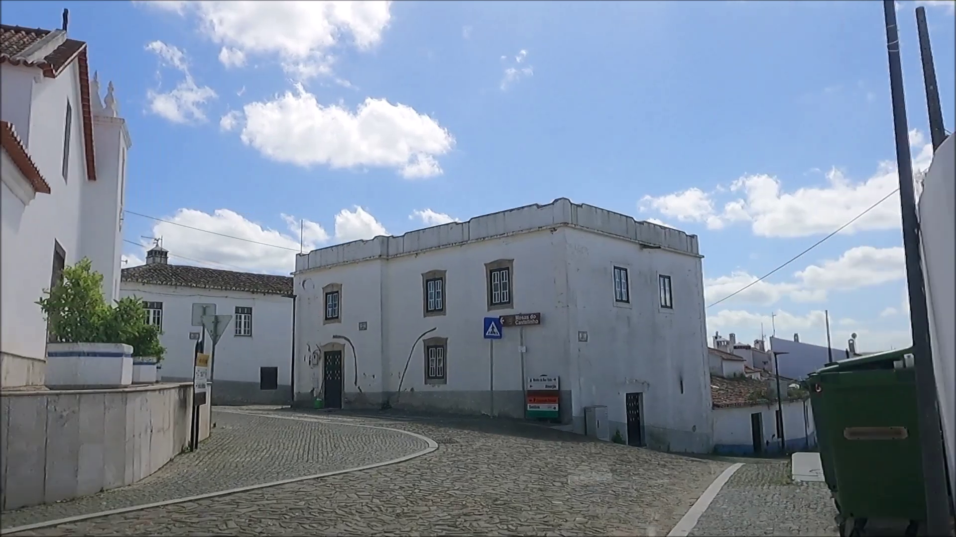
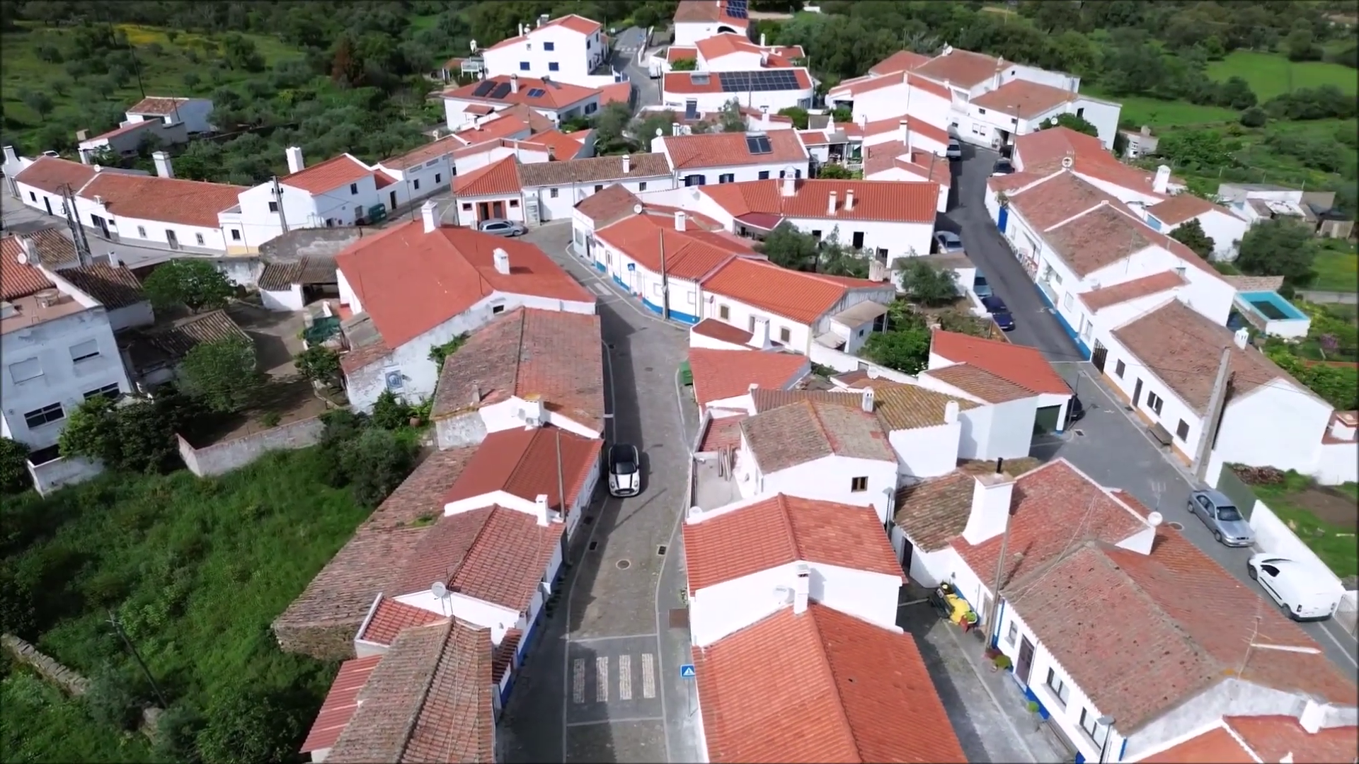
Santa Clara-a-Nova is a parish (freguesia) in the municipality of Almodôvar, Beja district, in the Baixo Alentejo region of southern Portugal. The village sits at around 300 metres of altitude, in the south of the municipality, on a distinctive geographic frontier: the Campos de Ourique plain, the southern edge of the Alentejo peneplain, meets the northern foothills of the Serra do Caldeirão here.
| Municipality | Almodôvar |
| District | Beja |
| Region | Baixo Alentejo (Alentejo) |
| DICOFRE code | 020213 |
| Altitude | ~300 metres |
The parish was restored in 2025 with the boundaries it had before 2013 (see the administrative story below).
Distances
| Almodôvar | ~15 km, 20 min |
| Beja | ~70 km, 1h |
| Faro | ~100 km, 1h15 |
| Lisbon | ~200 km, 2h30 |
Landscape
Between the plain and the hills
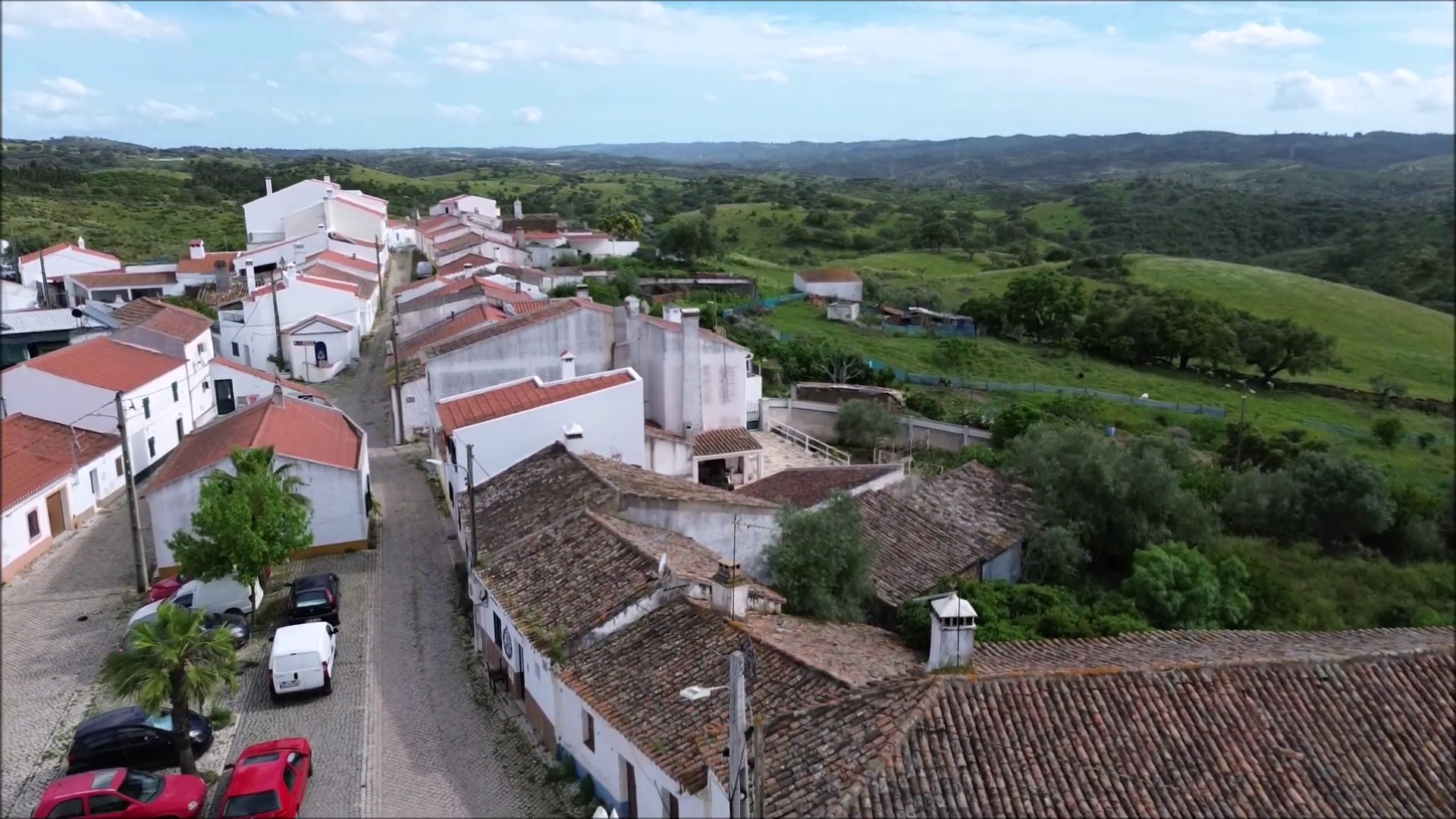
The landscape around the village is the Alentejo montado: cork oaks and holm oaks spaced over pastures and grain fields, with strawberry trees, gum rockrose and Portuguese lavender on the hillier slopes. It is a transition zone, where the open fields of the plain give way, southwards, to the rolling relief of the Serra do Caldeirão.
The Ribeira de Mora stream, which runs past the Mesas do Castelinho archaeological site, flows west into the Mira river. This territory, in the upper Mira valley, has always been a place of passage between the coast, the hills and the plain.
The parish that disappeared and came back
Recent administrative history
In 2013, a national administrative reform (Law 11-A/2013 of 28 January) merged Santa Clara-a-Nova with neighbouring Gomes Aires, creating the União das Freguesias de Santa Clara-a-Nova e Gomes Aires, with its seat in Santa Clara-a-Nova.
Law 25-A/2025 of 13 March restored the two separate parishes, with the boundaries they had before 2013. The restoration took legal effect with the swearing-in of the officials elected in the October 2025 local elections. Twelve years later, Santa Clara-a-Nova is once again a parish with its own name, council and territory.
Population
Honest numbers from an inland village
Like much of inland Alentejo, Santa Clara-a-Nova has lost population over recent decades. The numbers tell that story plainly.
| Santa Clara-a-Nova (2001 census) | 656 inhabitants |
| Santa Clara-a-Nova (2011 census) | 600 inhabitants |
| Union with Gomes Aires (2021 census) | 785 inhabitants across 173.81 km² |
The 2021 census counted the two parishes together, because they were merged at the time. A 2021 figure for Santa Clara-a-Nova alone awaits disaggregated publication by the national statistics institute (INE) for the restored parish.
Local economy
What the land lives on
The parish economy rests on the traditional activities of the montado and dryland farming, complemented by employment at the Neves-Corvo mine, in the neighbouring municipality of Castro Verde, where workers from across the region commute daily.
| Agriculture | Dryland cereals, olive groves |
| Livestock | Sheep, goats, cattle, pigs |
| Forestry | Cork from the cork-oak montado, medronho (strawberry-tree fruit) |
| Beekeeping | Honey production |
| Mining | Workers at the Neves-Corvo mine |
Why visit?
- ◆Mesas do Castelinho, one of the largest fortified Iron Age settlements in southern Portugal, about 2 km from the village
- ◆The Manuel Vicente Guerreiro Archaeological and Ethnographic Museum, in the village itself, with part of the finds from the excavations
- ◆The montado landscape between the Campos de Ourique plain and the Serra do Caldeirão
- ◆The food of Baixo Alentejo: bread-based açordas and migas, honey, medronho spirit
- ◆The genuine quiet of an Alentejo village, far from the usual circuits
Explore
Keep discovering the village
History
From megaliths to the restored parish: five thousand years of human presence in this territory.
Saint Clare of Assisi
The patron saint who gives the village its name, founder of the Poor Clares and patron of television.
Mesas do Castelinho
The walled Iron Age town that the Roman road network left off the map.
Coat of Arms & Flag
The gold chalice, the silver wall and the yellow flag: the parish's official symbols, from 2002.